
This past weekend we went to the Great Smoky Mountains National Park for fall break. Our daughter is in the 4th grade, and 4th graders are eligible for a free National Parks pass, so we’re trying to take full advantage of that. We stayed in Bryson City, on the North Carolina side of the park, because it’s a bit closer than the Tennessee side for us.
We drove up on Friday, getting to our little rental cabin around dinner time.
Day One
Our first day, we drove to the Oconaluftee Visitor Center to exchange our pass voucher for an actual pass, or at least find out what we need to do with our pass voucher. I also like to get an expert’s opinion on our plans and any input they might have on things we should see and/or do. Turns out, the Smokies are a “fee-free” park, so we didn’t even need our park pass. We were still able to exchange the voucher for an official 4th-grader’s park pass at the Smokemont ranger station.
Chimney Tops Trail
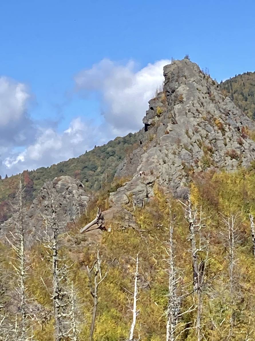
We continued into the park, planning on hiking the Alum Cave Trail. We were not prepared for how incredibly busy the park would be. Every parking area we came across was packed full with cars lining the shoulder along No Parking areas. We passed the Alum Cave Trailhead without any parking luck and continued about a mile further before finding a spot. We pivoted to Chimney Tops Trail, which we thought we were a closer to, but did not try our luck looking for a closer parking spot. We started where we were and walked our way to the trailhead.
The Chimney Tops Trailhead was 0.9 miles down the road 😆. So we were pretty much right between the two trails. Also a surprise: the trail to the namesake rock formations is closed. The closure notice still promised an overlook and a spot from which to view the formations.
The trail was almost 2 miles long with over 1200 feet of elevation gain. The steeper parts used stone steps. With the kids, it took us a little over an hour to get to the top. We rested at the top with our lunch and took a short walk around the corner to see the chimney rock formations.
The kids did great; I’d classify this as an epic hike for them: 4.6 miles total, 1200+ feet of elevation, and 2.5 hours. They were physically and emotionally spent by the end of it.
Clingmans Dome
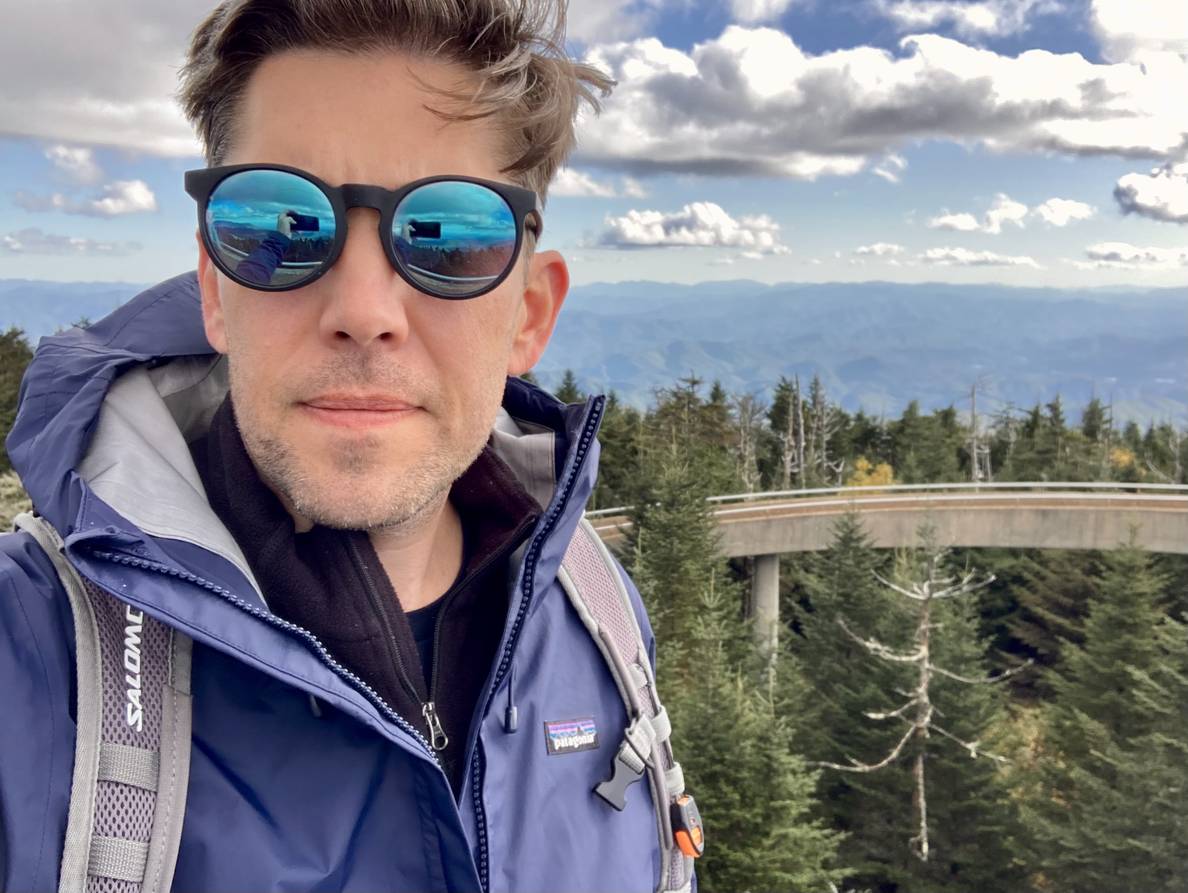
On the way back out of the park we planned to stop by Clingmans Dome and check off the highest point in the park and the highest point in Tennessee. We were advised at the visitor’s center to try Clingmans Dome in the afternoon, as it was busiest during late morning and mid-day.
We later found out that our experience was normal, but it took us an hour of traffic to get to the parking lot at the summit. Lots of people parked on the shoulder (in front of No Parking signs) to walk instead of deal with the traffic. Megan eventually took the kids and got a head start on making it to the summit while I waiting in line. We had zero cell service, so the plan was that whatever happened, we wouldn’t leave the top area without meeting up. I was lucky to get a spot early on in the parking lot loop, but I was actively scouting my options if I made it through the lot without finding a spot.
Making my way to the start of the path to the summit, I kept an eye out for Megan and the kids, but I didn’t see them until I was about halfway up the half-mile path to the summit; they were on their way down. Megan took the keys, and I continued to the summit by myself.
The Clingmans Dome summit has an observation tower, so you get to the top and then walk an additional winding ramp to the tower with 360-degree views. I’m glad we suffered through the traffic to get to it.
On our way out of the park we saw a herd of elk, which was amazing. Then on our way through Cherokee, we saw two bull elk fighting in a small grassy area; even more amazing!
Day Two
Deep Creek
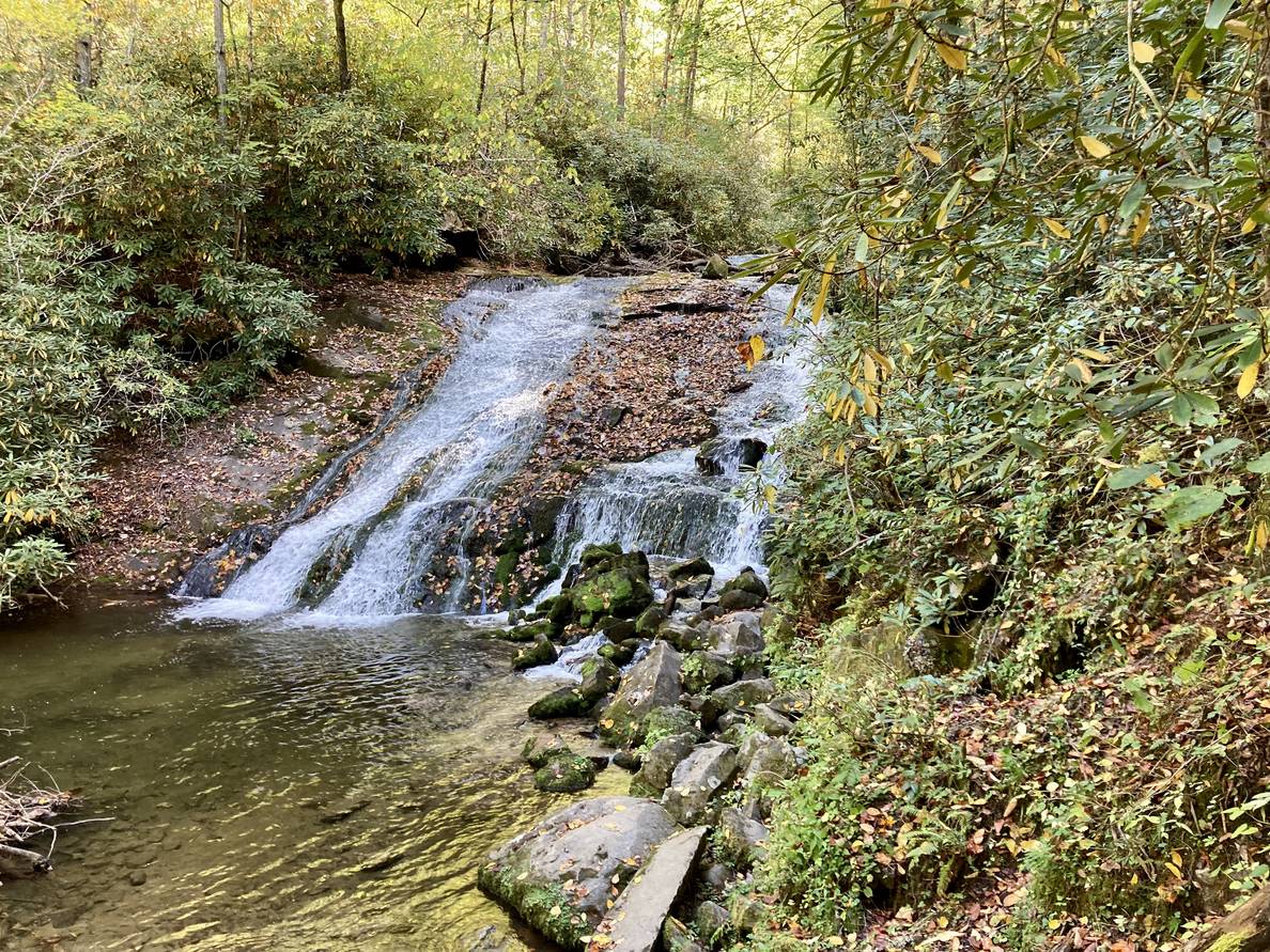
For our second day, we planned to spend it hiking around the Deep Creek area of the park. This turned out to be just up the road from where we were staying. It’s not on a road through the park, so we expected lighter crowds. Even so, I was surprised by how busy it was. We were able to get a parking spot, but there were only a few available when we arrived.
The Deep Creek area has three notable waterfalls that can be seen on a short hike. A little too short for us, so we took a longer way around it. We saw lots of families hiking this area and lots of fisherman working Deep Creek. This hike was much more the kids’ speed, and they had a good time.
We picnicked and looked at the map to see if there were any other hikes we could get to. The map indicated a trailhead at the end of Lake View Drive. It looked to have some short hikes that we could do. Apple Maps, however, wanted to take a 6.5 hour route through the park, not along the road. On further inspection, we saw that it showed Lake View Drive as closed. Google Maps showed a half-hour route, so we tried that.
After some mountainous back roads, Google Maps took us on a one-lane gravel road that, after a while, looked to end at someone’s house. We did not feel comfortable continuing, so we abandoned our plans.
Bryson City
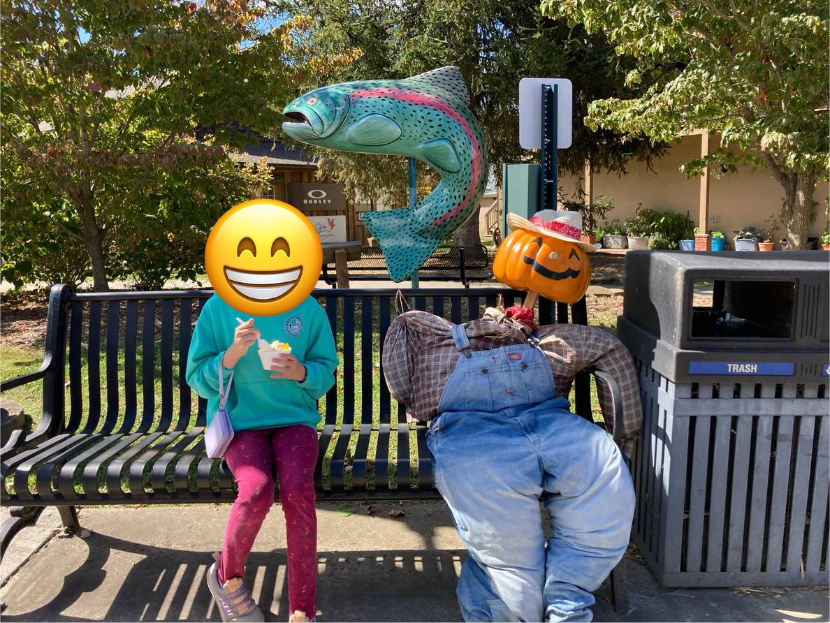
With the failed attempt for more hiking, we headed back to Bryson City to check out its shops. We all got some treats, and I popped into the Bryson City Visitor Center which is an official park visitor center. They confirmed that there is no vehicular access to the trailhead we were trying to get to. The road is closed for repaving. They said that the 6.5 hr route Apple Maps had for directs you to Clingmans Dome and then walk from there to the trailhead!
The kids were happy with their adventurous weekend. Our daughter said “I have so much to tell my friends!”